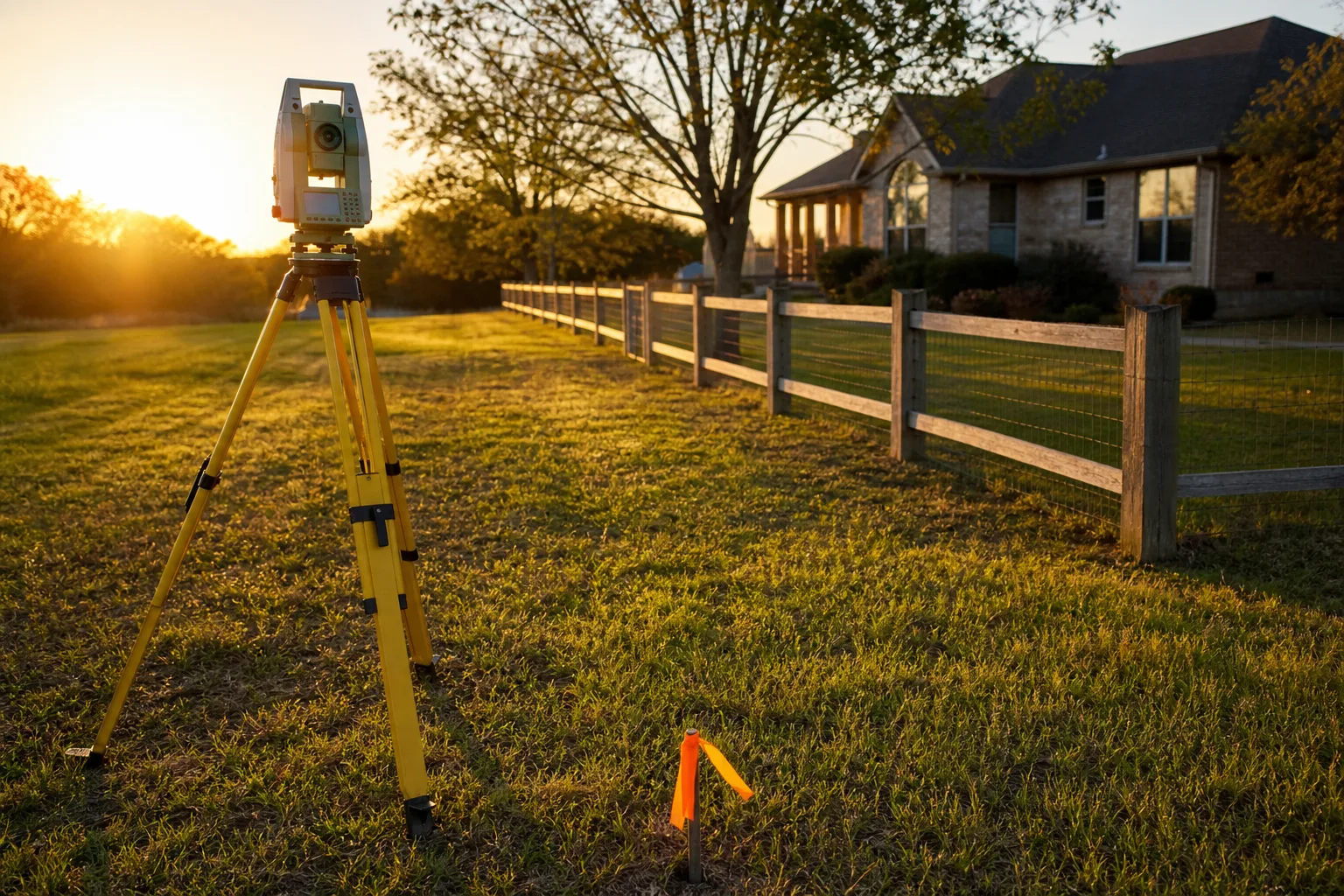
The word survey does at least four jobs in a real estate file, and the four things it names cost wildly different amounts. People find this out at the worst moment: two weeks before closing, when the title company asks for something the buyer thought they already had. What arrived was a one-page drawing with a disclaimer at the bottom. What was needed was a field crew, a day of record research, and iron pins in the ground.
Anyone who has bought and sold a half dozen properties learns to ask a different question than how much is a survey. The question is what the document has to survive. A drawing that satisfies a lender at closing may be worthless eight years later when a neighbor moves a fence, and the cost difference between the two is usually smaller than a single month of the mortgage it protects.
Four products that all get called a survey
Start by separating them, because the price gaps only make sense once you do.
A mortgage location drawing (sometimes called a mortgage inspection or a location report, and illegal to call a survey in several states) is a sketch showing the house sitting inside the lot lines as they appear on record. No corners are set. Nobody guarantees where the line is. It is the cheapest of the four by a wide margin, and it exists to let a lender close.
A boundary survey is the real thing at residential scale. A licensed surveyor pulls the deed and the deeds of the adjoining parcels, researches the subdivision plat and any recorded easements, sends a crew to find existing monuments, and sets new ones where they are missing. You get a signed and sealed plat showing measured lines, encroachments, and easement locations. Expect several times the cost of a location drawing.
An ALTA/NSPS land title survey is the commercial-grade version, written to a national standard jointly maintained by the surveying and title industries. It ties the boundary work to a specific title commitment and plots every recorded exception item by item. On a small commercial parcel it runs a multiple of a residential boundary survey. On anything with utility corridors, access agreements, or multiple chains of title, more again.
A home inspection is not a survey at all and never has been, though buyers use the words interchangeably. It is a visual condition report on the structure and systems. It tells you nothing about where your land ends. Plenty of people buy one and think they have covered both risks.
| Product | Answers | Relative cost |
|---|---|---|
| Location drawing | Is the house roughly inside the lot? | Lowest |
| Boundary survey | Where exactly is the line, and what crosses it? | Several times a location drawing |
| ALTA/NSPS survey | How does every title exception sit on the ground? | A multiple of a boundary survey |
| Home inspection | What condition is the building in today? | Comparable to a boundary survey |
What actually moves the number on the quote
Surveyors price field time and research time, not paperwork. Once you know what consumes each, the spread between two quotes on the same parcel stops being mysterious.
- Record quality. A 1990s subdivision with a recorded plat, clean dimensions, and monuments still in the ground is fast. A metes-and-bounds description written in 1948 that references a stone and a creek is slow, and the research alone can outrun the field work.
- Missing monuments. If the corner pins were pulled during grading or paved over, the crew has to reconstruct the position from adjoining evidence. That is the single most common reason a quote doubles.
- Vegetation and terrain. Clearing a sight line through brush is labor. Wooded acreage in leaf-on season costs more than the same acreage in February.
- Parcel shape and frontage. Perimeter drives cost more than area does. A long narrow strip with six corners is more work than a square lot of twice the acreage.
- Number of adjoining owners. Every neighbor is another deed to research and another line to reconcile.
- What has to be shown. Adding topography, an elevation certificate for flood insurance, or improvements located to the inch each adds a distinct scope of field work.
- Schedule. A two-week turnaround is ordinary. A four-day turnaround in a busy spring is a premium, and it is the one cost driver entirely within your control if you order early.
The federal framework underneath much of this is the Public Land Survey System, which the Bureau of Land Management is responsible for administering across the states where it applies. Your surveyor is working from that grid outward through a century of local records, and the depth of that chain is exactly what you are paying for.
The comparison that matters: what each one protects you from
A location drawing protects the lender. That is its whole purpose, and it does it well and cheaply. It carries language stating it is not to be relied on for establishing boundaries, building fences, or siting improvements. Read that sentence before you build anything.
A boundary survey protects you. It is the document that settles the fence argument, permits the addition, supports an adverse possession defense, and tells the title company whether the driveway that has always been there actually crosses onto the parcel next door. The difference in outcome is not marginal. One is evidence and one is a courtesy sketch.
The ALTA survey protects a transaction with money and lenders behind it. If you are buying a building with tenants, a shared access drive, or a utility easement running under the parking lot, the point of the ALTA product is that each recorded exception gets drawn where it physically sits. Title insurers will remove certain standard survey exceptions from a policy when one exists, which is often the real reason it is ordered.
Where the cheap version becomes the expensive one
Things do not fail in week one. They fail in year eight, when a neighbor sells, the new owner has a real survey done, and the pins land four feet inside a fence line everybody had accepted for a decade. Now the shed is on their land, the retaining wall you paid for is theirs, and you are buying a boundary survey anyway, on someone else's schedule, with an attorney already billing.
The same pattern shows up with additions. A deck or a garage placed off a location drawing gets caught at final inspection or, worse, at resale, when the appraiser flags an encroachment into a side setback. Moving structural work costs an order of magnitude more than knowing where the line was.
Trees, pools, and septic fields belong in the same category. Anything with a permanent footprint deserves a sealed plat before the first hole is dug.
How to buy one without paying twice
Order it the week your contract goes firm, not the week before closing. Ask the surveyor directly whether monuments will be set and whether the plat will be signed and sealed, because those two answers separate the products more reliably than the name on the invoice. Send over the title commitment, the prior plat if the seller has one, and the legal description. A previous survey, even a dated one, can cut research time meaningfully, and a good surveyor will tell you so when quoting.
Ask for the scope in writing: boundary only, or boundary plus improvements, plus topography, plus elevation certificate. Each line is separable, and adding one later means a second mobilization of the crew.
Keep the sealed copy. Scan it, file the paper, and hand both to the buyer when you eventually sell. It is the cheapest piece of durable evidence a property owner can hold, and it holds its value longer than almost anything else in the closing file.